
← All tripsUtah

Zion National Park

Navajo sandstone walls, a river you hike up, and a shuttle that runs the show

My picks
📅 Sat Nov 21 – Wed 25, 20264 nights · 3 in Springdale + 1 in Las Vegasbase: Springdale, UTJoin this trip →

Zion — the week before Thanksgiving, 2026

Three nights in Springdale (plus a Las Vegas night on the way in) with Zion Canyon a mile up the road. Late November means cool, quiet trails, a shuttle that is still running, and the last week before the holiday crowds. There is room for more people: here is where we’ll be, when, and what’s worth coming for.

When

Sat Nov 21 – Wed 25, 2026

4 nights · 3 in Springdale + 1 in Las Vegas ·

+ Add to calendar

Roughly what it costs

  • Springdale room, 3 nightsvariesThe main cost; Thanksgiving week is peak. The Stay tab lists example properties to price.
  • Park entrance$35 per vehicleGood for 7 days; split among the car. Free with an America the Beautiful pass.
  • Angels Landing lottery$6 + $3 per person$6 per application (up to six people), $3 per person only if you win.
  • Narrows gear rentalvariesDry pants or drysuit, boots and a stick from a Springdale outfitter, by the day — only if you do the Narrows.

No group fee. Gas and entrance split per car; cars fill up, so ask Aaron for a seat.

Home base · town

Springdale, UT

We are staying in town, within 1 mile of the park’s South Entrance. Springdale sits right at the gate: restaurants, groceries, gas and Narrows gear rental are all on the one main street, and the free town shuttle stops along it and drops at the park’s pedestrian entrance, so we can leave the cars parked most days.

Open in maps

If you’re joining: Book a Springdale room for Sun Nov 22, Mon Nov 23 and Tue Nov 24 (check out Wed Nov 25) — three nights, not four — as close to the South Entrance as you can, or ask about sharing ours. Add Las Vegas for Sat Nov 21 if you’re driving up with us. Springdale fills for the holiday week, so book early; see Stay for the town and example properties.

Affects our dates · checked 2026-09-17

  • East Rim Trail is partially closed by rockfall near Weeping Rock. Hidden Canyon is closed, and Observation Point cannot be reached from Zion Canyon — the only route is the East Mesa Trail from the east side. source
  • Toxic cyanobacteria health watch on the Virgin River and park streams (updated 2026-05-21). Do not submerge your head, touch algae mats, or drink or filter in-stream water — no recreational filter removes cyanotoxins. Children and dogs are most at risk. Wading is still allowed. source
  • Since June 7, 2026, large vehicles are banned from the Zion–Mount Carmel Highway between Canyon Junction and the East Entrance — anything over 35 ft 9 in long, 7 ft 10 in wide, 11 ft 4 in tall or 50,000 lbs is turned around at the gate. This replaced the old tunnel-escort permit, so ignore older advice about buying one. source
  • The Narrows closes when the Virgin River runs above 150 cubic feet per second and during any Flash Flood Warning. Check flow and the flash flood potential rating the morning you go. source

Getting in

Sat Nov 21: I-15 north from the LA/OC area to Las Vegas for the night.
Sun Nov 22: Las Vegas → Springdale, about 170 mi, roughly 2 h 45 min, still on I-15 to UT-9 east through Hurricane. Utah is on Mountain Time, one hour ahead. Stop for groceries in Hurricane; Springdale has a small market.

Getting out

Wed Nov 25: a short morning in the park, then I-15 south all the way home. It is the day before Thanksgiving, so expect heavier traffic through Las Vegas by late afternoon.

Dates that matter

  1. nowBook your Springdale room (Nov 22–24) — holiday-week rooms go first.
  2. Sun Nov 22, 202612:01 a.m.–3 p.m. Mountain Time: apply to the Angels Landing day-before lottery for Monday’s hike on recreation.gov ($6 per group). Results by 4 p.m. Repeat Monday for a Tuesday attempt.

What we might do

No fixed schedule — these are the 10 things worth the trip, ranked by popularity. Tap one for the full card; Add to my picks builds a list you can send Aaron.

My picks

What these dates mean

Weather

November averages a 64°F high and 37°F low on the canyon floor, and about ten November nights drop below freezing. Great hiking days; mornings and evenings need layers.

Daylight

About ten hours. Sunrise is a little after 7 a.m. and the canyon is in shadow well before the ~5:15 p.m. sunset, so we start early and eat dinner in town.

Shuttle

The Zion Canyon shuttle runs through Nov 28: first bus 7:00 a.m., last bus into the canyon 5:00 p.m., last bus out 6:15 p.m. Private cars cannot drive the Scenic Drive while it runs. The free Springdale town shuttle runs the same season and drops at the park’s walk-in entrance.

Angels Landing

The Sep–Nov seasonal lottery closed in July, so the route in is the day-before lottery: apply between 12:01 a.m. and 3 p.m. Mountain Time (Utah is one hour ahead of Las Vegas) the day before you want to hike, $6 per application for up to six people, $3 per person if drawn. Scout Lookout — most of the climb and the view — needs no permit.

The Narrows

Open unless the river runs above 150 cubic feet per second (the park’s closure line) or a flash flood warning is issued. Water will be in the low 40s °F — rented dry pants or a drysuit from a Springdale outfitter is the difference between fun and misery. There is also an active toxic-algae advisory on the Virgin River: wading is fine, keep your head out and don’t drink or filter the water (details in Safety).

Is late November a good time?

It is a week past the Overview’s “best months” — we’re trading a little warmth for far fewer people, an empty shuttle, and low golden light on the walls. Visitation drops sharply in November; the holiday surge starts after we leave.

Bring

Want to come?

The more the better: hikes are more fun in a group, cars fill up efficiently, and dinners in Springdale are better with company. Come for the whole stretch or just a day or two.
  1. Coordinate with Aaron — which nights, how many people, and whether you’re driving or want a seat.
  2. Book a Springdale room for Nov 22–24, or ask about sharing ours.
  3. Set up a recreation.gov account so you can enter the Angels Landing day-before lottery with us.
  4. Tap Add to my picks on what you’d want to do, then send Aaron the link — that’s how we plan cars and shuttle times.
Add to calendar

Questions people ask before saying yes

Roughly what will this cost me?
Your Springdale room is the big number and depends on the property; the park is $35 per car for the week, the Angels Landing lottery is $6 plus $3 a person if you win, and Narrows gear is a day rental if you go. The rest is gas and food.
Can I come for just one day?
Yes. The best single day is Monday or Tuesday: first shuttle at 7 a.m., one big hike, dinner in town.
Do I have to do Angels Landing?
No. The chains section is exposed and needs a lottery permit. Scout Lookout, right below it, needs no permit and has most of the view. The Narrows, Emerald Pools, Canyon Overlook and the Watchman are all great days without it.
Is it kid-friendly?
Very, for the right hikes: Pa’rus Trail (paved), Riverside Walk, the lower Emerald Pools, Canyon Overlook. In November keep kids to the first stretch of the Narrows. Angels Landing is not for young children.
How fit do I need to be?
If you can walk a few miles with some uphill, you have a full trip. Angels Landing to Scout Lookout is the steep one (about 1,200 ft of climb over 2 miles); the Narrows is slow wading, not climbing; several of the Top 10 are flat.
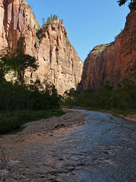
Zion Canyon at sunrise with the Virgin River below towering red and cream sandstone walls

Zion National Park

Navajo sandstone walls, a river you hike up, and a shuttle that runs the show

Photo: NPS / Sarah Stio · PD

Entrance fee
$35/vehicle, valid 7 days
$30 motorcycle, $20 per person on foot or bike
Reservation to enter?
No
Only Angels Landing and wilderness routes need permits
Best months
April–May, October–early November
Warm days, cool nights, a river you can wade
Shuttle season 2026
March 7 – November 28
Plus December 26 – January 2; free, no ticket
Time zone
Mountain Time
All permit deadlines are quoted in MT
Annual visitors
Nearly 5 million
65% arrive April through September

Current conditions · checked 2026-09-17 · 5 items

  • affects our dates East Rim Trail is partially closed by rockfall near Weeping Rock. Hidden Canyon is closed, and Observation Point cannot be reached from Zion Canyon — the only route is the East Mesa Trail from the east side. source
  • affects our dates Toxic cyanobacteria health watch on the Virgin River and park streams (updated 2026-05-21). Do not submerge your head, touch algae mats, or drink or filter in-stream water — no recreational filter removes cyanotoxins. Children and dogs are most at risk. Wading is still allowed. source
  • affects our dates Since June 7, 2026, large vehicles are banned from the Zion–Mount Carmel Highway between Canyon Junction and the East Entrance — anything over 35 ft 9 in long, 7 ft 10 in wide, 11 ft 4 in tall or 50,000 lbs is turned around at the gate. This replaced the old tunnel-escort permit, so ignore older advice about buying one. source
  • affects our dates The Narrows closes when the Virgin River runs above 150 cubic feet per second and during any Flash Flood Warning. Check flow and the flash flood potential rating the morning you go. source
  • South Campground reopened May 29, 2026 after rehabilitation. Reservations are required and open only 14 days ahead. source

Why go

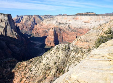
Zion is a narrow, 2,000-foot-deep gash of Navajo sandstone with a river running through the bottom, and almost everything famous about the park happens inside that one canyon. The two signature hikes go straight at the geology: Angels Landing climbs a fin to a knife-edge strung with chains, and The Narrows abandons dry land and walks you upstream between walls you can touch on both sides.

Know this first: from March 7 to November 28, 2026 you cannot drive Zion Canyon Scenic Drive. A free shuttle runs it every 5–10 minutes, nine stops, no ticket. The rest of the park — the Zion–Mount Carmel Highway, Kolob Canyons, Kolob Terrace Road — stays open to cars all year, and is where you go when the canyon feels full.

Best for

Canyon hikesRiver wadingPhotographyScenic drivesFirst national park trips

Don’t miss

  1. Riding the shuttle to Temple of Sinawava and walking the Riverside Walk into the mouth of the Narrows
  2. Canyon Overlook Trail east of the tunnel — an hour for the best view-to-effort ratio in the park
  3. Court of the Patriarchs at low sun, when Abraham, Isaac and Jacob light up
  4. Angels Landing, if the lottery goes your way and heights don't
  5. The Zion–Mount Carmel Highway east to Checkerboard Mesa

Full details in Top 10.

When to go

Best

Spring

Mar–May

Highs 66–86°F · Lows 39–54°F

The sweet spot for temperature and the worst stretch for the Narrows: snowmelt pushes the river past the 150 cfs closure line, and NPS warns it "may be closed for an extended period of time." Nights stay cold — the daily swing can be 32°F or more — and March and April are wet. Crowds arrive fast: March draws almost three times February's visitors, the shuttle goes full-time March 7, 2026, and South Campground reopens.
Hard

Summer

Jun–Aug

Highs 95–100°F · Lows 63–70°F

Hot and crowded — "regularly over 100°F," 16 days above 100°F in an average July, roughly half a million visitors a month, parking often full by 9:00 am. The upside is the Narrows: flow drops to wadeable and water reaches 56–68°F. The downside is the monsoon, July–September, with 14–15 thunderstorm days a month and real flash-flood risk. Hike at dawn and carry a gallon per person.
Best

Fall · our trip

Sep–Nov

Highs 64–91°F · Lows 37–61°F

The other sweet spot, and better than spring if the Narrows is your reason for coming — flow is low and the water still tolerable in September. September stays busy (11% of the year's visitors) before visitation drops sharply in November. Daily swings of 30°F are normal, and color shows at the highest elevations by late October. The shuttle's last run drops to 5:00 pm from October 25.
Good

Winter

Dec–Feb

Highs 54–59°F · Lows 30–34°F

The quiet season, and the only time you can drive the Scenic Drive yourself — the shuttle stops after November 28 and returns only December 26 to January 2. Expect 13–20 freezing nights a month and snow that "typically disappears within a matter of hours at lower elevations." Ice on the Angels Landing chains and the Riverside Walk is the real hazard; Kolob Terrace Road and often Kolob Canyons Road close with snow.

Top 10 natural attractions

Ranked by popularity. Distances and times are official park figures where available. Tap Add to my picks to build a list you can send the host.

Angels Landing1

Angels Landing

HikeStrenuousPermit lottery
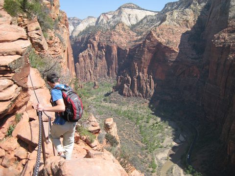
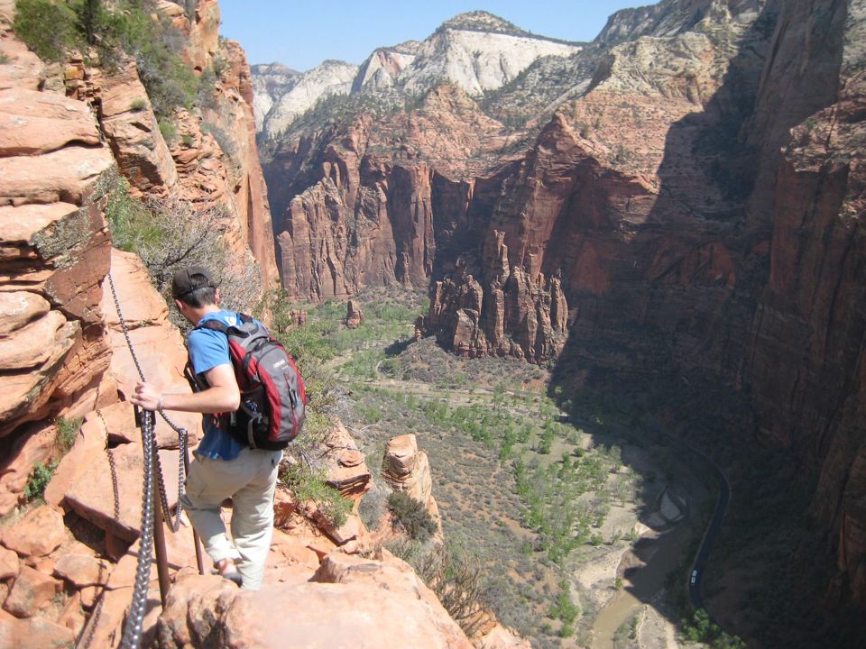
The park's signature hike, and one of the most exposed maintained trails in the national park system. The West Rim Trail climbs the canyon wall in paved switchbacks, cools off in Refrigerator Canyon, then stacks 21 tight switchbacks — Walter's Wiggles — to Scout Lookout. From there a half-mile fin runs to the summit along a ridge under three feet wide in places, chains bolted into the rock, drop-offs of up to 1,000 feet.
Distance
4.8 mi round trip
Elevation gain
1,488 ft
Time
4–6 hr
Start / parking
The Grotto (shuttle stop 6)
From our base
≈ 6 mi straight line

Best time: First shuttle at 7:00 am — the switchbacks face the sun and the chains bottleneck by mid-morning

Permit lottery. Required for everyone past Scout Lookout, via recreation.gov only. $6 per application (up to six people) plus $3 per person if awarded. Apply in the seasonal lottery months ahead, or in the day-before lottery — 12:01 a.m. to 3 p.m. MT, results at 4 p.m. MT. Start time is measured at The Grotto. No permit is needed to reach Scout Lookout.

Good to know
  • Hike to Scout Lookout without a permit — great view, and you decide about the chains there
  • Skip the chains if the rock is wet or icy or the wind is up; there is no easy retreat mid-ridge
  • Fill up at The Grotto — no water past it, and restrooms end at Scout Lookout

Season note: Chains and slickrock ice up in winter; the route stays open with a permit, but traction devices matter

Accessibility: Not accessible. Unpaved, rocky, under 3 ft wide in places; not for young children. Pets prohibited
The Narrows (bottom-up)2

The Narrows (bottom-up)

CanyonStrenuousNo permit
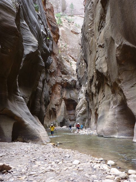
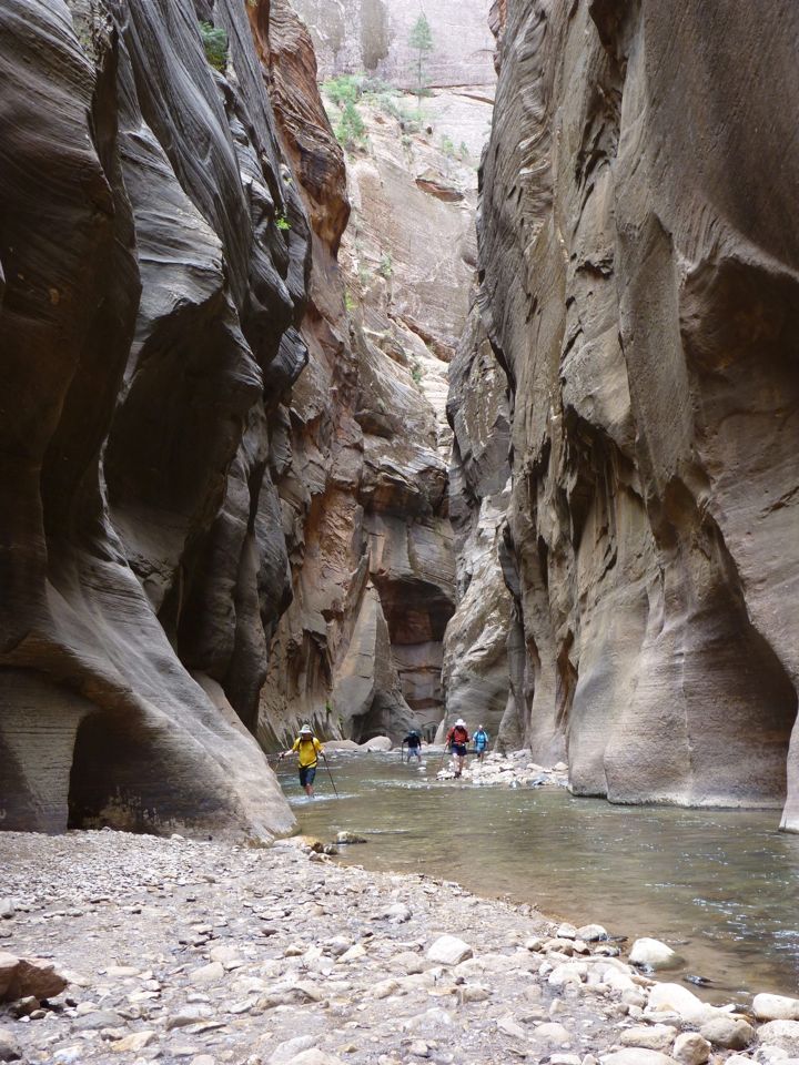
There is no trail — the Virgin River is the route. You wade, sometimes thigh-deep, up a slot where the walls close to a couple of dozen feet apart and rise a thousand. No permit is needed, which is why it is also the most crowded hike in the park. Most people go an hour or two upstream and turn back; Big Spring is a ten-mile round trip and a full day.
Distance
Any length; up to 10 mi round trip
Elevation gain
Negligible — you walk upstream in the riverbed
Time
2 hr for a taste; all day to Big Spring
Start / parking
Temple of Sinawava (shuttle stop 9), then 1 mi on the Riverside Walk
From our base
≈ 7 mi straight line

Best time: Late summer and early fall, when flow is low and the water is warmest

Good to know
  • Check flow and the flash flood rating that morning — 150 cfs closes it
  • Rent canyoneering boots, neoprene socks and a stick in Springdale
  • 56–68°F in summer but 41–53°F spring and fall; dress for hypothermia, not a swim

Season note: Often closed for weeks during spring snowmelt; closes above 150 cfs and in any Flash Flood Warning

Accessibility: The paved Riverside Walk to the river's edge is accessible; the Narrows is not

Riverside Walk3

Riverside Walk

HikeEasyNo permit
The paved path at the end of the shuttle line, following the river upstream while the canyon squeezes shut. Hanging gardens seep from the walls, and the trail ends where the river fills the canyon floor — the doorway to the Narrows. Nearly everyone who rides the shuttle walks it, and it earns the traffic.
Distance
1 mi each way
Elevation gain
154 ft
Time
1–2 hr
Start / parking
Temple of Sinawava (shuttle stop 9)
From our base
≈ 7 mi straight line

Best time: Early morning or the last shuttle up — the walls glow and the crowd thins

Good to know
  • Ride to the last stop first thing; queues here are worst mid-day
  • Stop where the pavement ends even if you skip the Narrows — that is the view
  • Restrooms and water are at the trailhead and nowhere beyond

Season note: Can close in winter when the pavement ices over

Accessibility: Concrete, typically 77 in wide at about a 4.6% grade — wheelchair and stroller friendly, with some irregular paving and minor drop-offs

Sources: nps.gov — source for Riverside WalkPhoto: NPS · PD
Emerald Pools4

Emerald Pools

HikeModerateNo permit
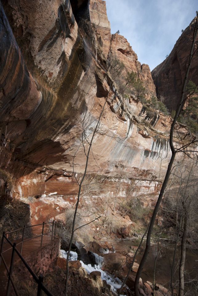
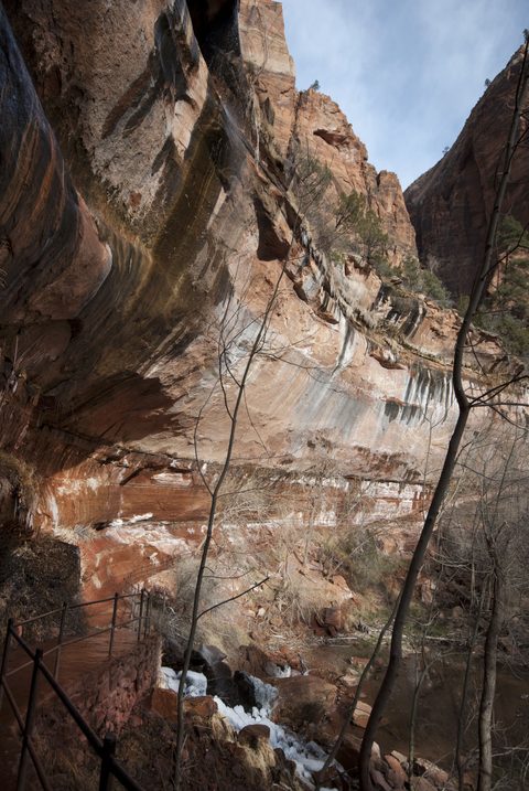
The classic family hike from Zion Lodge, and three destinations you can take as far as you like. Lower runs under a dripping overhang behind a thin waterfall; Middle climbs a sandstone ledge to open canyon views; Upper ends at a green pool in a dead-end amphitheater below the Great White Throne.
Distance
2.2–2.8 mi round trip
Elevation gain
333 ft to Middle; 76 ft more to Upper
Time
1–2 hr
Start / parking
Emerald Pools Trailhead across from Zion Lodge (shuttle stop 5), or The Grotto (stop 6) via the Kayenta Trail
From our base
≈ 5 mi straight line

Best time: Spring, when the ephemeral waterfalls are actually falling

Good to know
  • Up the Kayenta Trail from The Grotto, down to Zion Lodge, and it becomes a loop
  • Do not enter the pools — fragile wildlife water, and swimming is prohibited
  • The pools are on the cyanobacteria advisory list; keep dogs and children out

Season note: Open year-round; the waterfalls are seasonal and can be dry by late summer

Accessibility: Lower is partly paved but rough; Middle and Upper are unpaved with steps and ledges

Sources: nps.gov — source for Emerald PoolsPhoto: NPS · PD
Canyon Overlook Trail5

Canyon Overlook Trail

HikeModerateNo permit
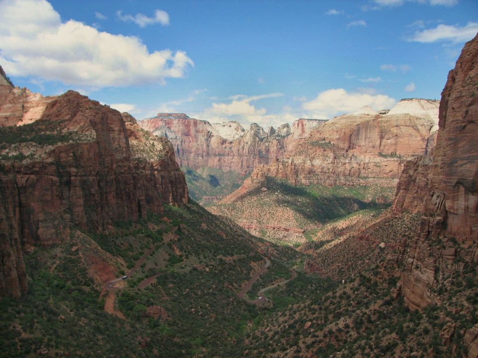
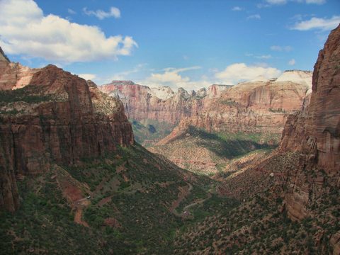
The best view in Zion per unit of effort. A half-mile of sandstone steps, handrails and a catwalk bolted over a dark slot canyon opens onto red and cream slickrock, ending at a fenced cliff edge above the switchbacks of the Zion–Mount Carmel Highway, with the Towers of the Virgin beyond.
Distance
1 mi round trip
Elevation gain
154 ft gain, 49 ft loss
Time
1–2 hr
Start / parking
Small lot on SR-9 immediately east of the Zion–Mount Carmel Tunnel — drive yourself, no shuttle
From our base
≈ 4 mi straight line

Best time: Sunrise or the hour before sunset; the lot is emptiest at dawn

Good to know
  • NPS says it plainly: "Parking is extremely limited, be prepared to try multiple times"
  • East side, outside the shuttle system — you need a car to get here
  • Do it driving out toward the East Entrance in low afternoon light

Season note: Drivable and hikeable all year, but the slickrock and the steps are slick when wet or icy

Accessibility: Not accessible — steps, uneven rock, tread narrowing to 12 in, drop-offs. Pets prohibited

Zion Canyon Scenic Drive & Court of the Patriarchs6

Zion Canyon Scenic Drive & Court of the Patriarchs

Scenic driveEasyNo permit
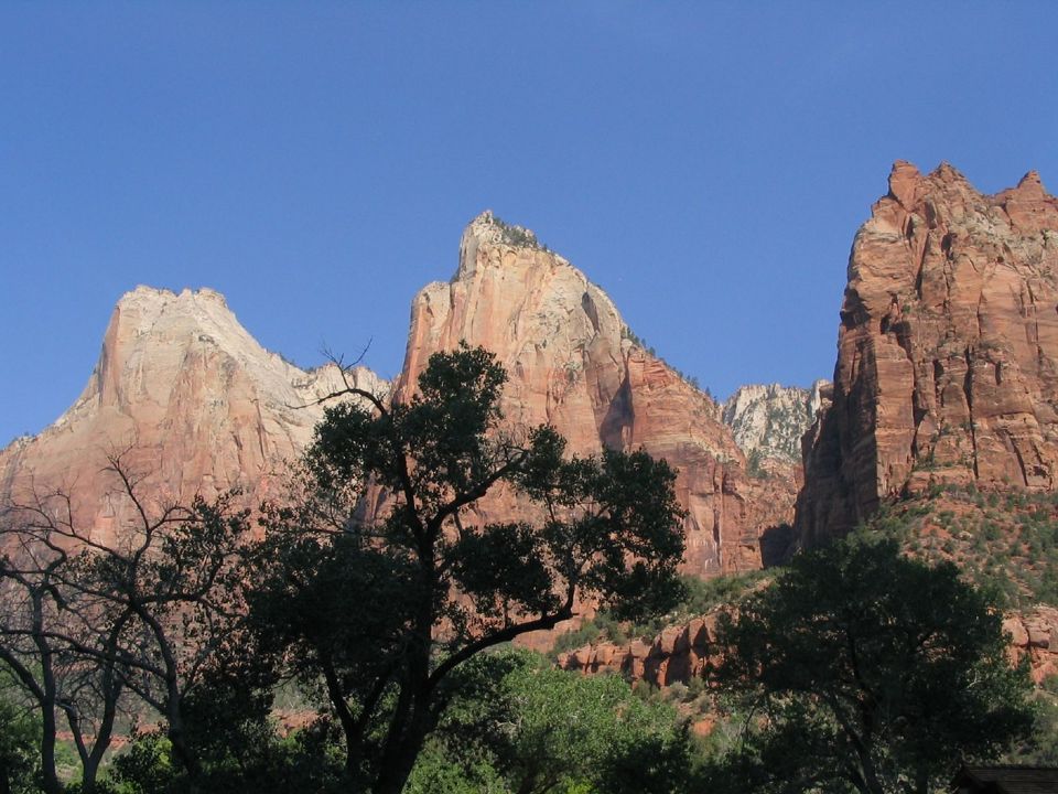
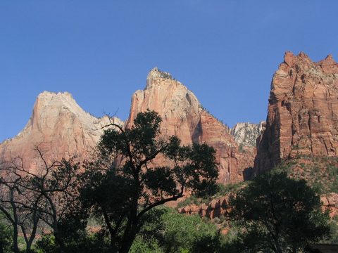
The spine of the park, and what almost every visitor actually does. The shuttle runs the canyon floor past the Court of the Patriarchs, Zion Lodge, The Grotto, Big Bend and the Temple of Sinawava, walls rising 2,000 feet on both sides. Court of the Patriarchs at stop 4 is the set-piece: a short steep walk to an overlook facing Abraham, Isaac and Jacob, named in 1916.
Distance
Nine shuttle stops end to end
Elevation gain
None
Time
About 45 min one way; about 1.5 hr for a full round trip without getting off
Start / parking
Zion Canyon Visitor Center (shuttle stop 1)
From our base
≈ 4 mi straight line

Best time: The first shuttle at 7:00 am, or the last runs of the evening for low light

Good to know
  • Shuttles come every 5–10 minutes — get off freely, you are never stranded long
  • Ride to stop 9 first, then work back down; the crowd moves the other way
  • Court of the Patriarchs faces east: brilliant in the morning, flat by afternoon

Season note: Drivable in your own car only outside shuttle season, and it closes for the day when its parking fills — common in December, January and February

Accessibility: Every shuttle bus is wheelchair accessible (lift limit 600 lbs; chairs to 45 in long by 25 in wide). The Court of the Patriarchs overlook walk is short but steep

Zion–Mount Carmel Highway & Checkerboard Mesa7

Zion–Mount Carmel Highway & Checkerboard Mesa

Scenic driveEasyNo permit
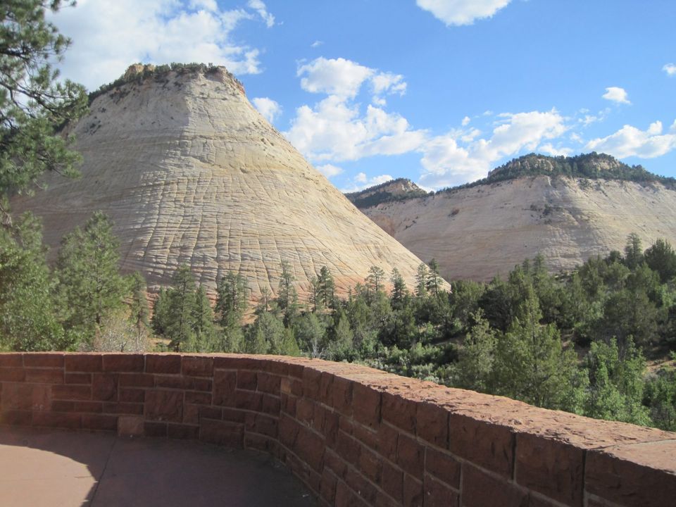
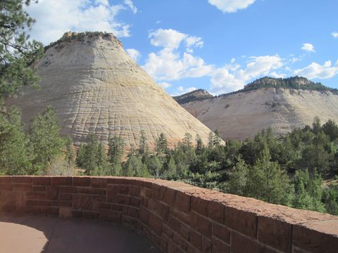
Opened July 3, 1930, this is the road that made the Grand Circle tour of Zion, Bryce and the Grand Canyon possible: switchbacks stacked up the canyon wall, a long tunnel bored through the cliff, and a different landscape beyond. East of the tunnel the red canyon gives way to cream slickrock domes, ending at Checkerboard Mesa, cross-hatched into a giant grid.
Distance
10.7 mi one way
Elevation gain
Climbs out of the canyon in a series of engineered switchbacks
Time
45 min to 1.5 hr with stops
Start / parking
Canyon Junction (SR-9) — open to private vehicles year-round
From our base
≈ 7 mi straight line

Best time: Late afternoon heading east, when the slickrock warms up

Good to know
  • Pull into every signed overlook; Checkerboard Mesa has its own near the East Entrance
  • The drive to do when shuttle queues are absurd — it needs no shuttle
  • Bighorn sheep are common here; slow down and do not approach

Season note: Open all year; snow and ice are possible on the switchbacks in winter

Accessibility: Fully drivable; the overlooks are roadside pullouts with short, mostly level approaches

Pa'rus Trail8

Pa'rus Trail

HikeEasyNo permit
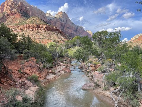
"Pa'rus" is Paiute for bubbling water, and the trail follows the river from the visitor center to Canyon Junction on pavement and boardwalk, with the best straight-on views of the Watchman in the park. It is Zion's only pet-friendly trail and its only bike trail, which makes it far more useful than its easy rating suggests.
Distance
3.5 mi end to end
Elevation gain
152 ft
Time
30 min–2 hr
Start / parking
Zion Canyon Visitor Center (shuttle stop 1) or Canyon Junction (stop 3)
From our base
≈ 1.0 mi straight line

Best time: Sunset, then stay for the stars

Good to know
  • The one trail where leashed dogs are allowed — leash no longer than 6 feet
  • Bikes allowed, so it is the natural link from Springdale to Canyon Junction
  • Sunset over the Watchman from the bridges is the classic Zion photograph

Season note: Open and usable year-round, including when the shuttle is not running

Accessibility: 93.6% paved with the remainder hardwood decking, minimum tread width 96 inches, typical grade 2.6% — wheelchair accessible

Sources: nps.gov — source for Pa'rus TrailPhoto: Vulturesong · CC0
Watchman Trail9

Watchman Trail

HikeModerateNo permit
The best short hike you can start without touching a shuttle. It runs flat along the river, then climbs sandy switchbacks to a bench below the Watchman, with a loop at the top over lower Zion Canyon, the temples and towers, and Springdale. The obvious answer when you arrive mid-afternoon and the shuttle line is 40 minutes long.
Distance
3.3 mi round trip
Elevation gain
479 ft
Time
1–2 hr
Start / parking
Zion Canyon Visitor Center — walk through the plaza past the shuttle stop
From our base
≈ 1.1 mi straight line

Best time: Late afternoon into sunset, when lower Zion Canyon turns orange

Good to know
  • Perfect first-evening hike — you can walk to the trailhead from Springdale
  • Almost no shade; in summer go after 5 pm, not at noon
  • No bikes and no pets on this one

Season note: Year-round, but muddy or icy in winter and in the monsoon, with very little shade in summer

Accessibility: Not accessible — sandy, rocky, uneven, with moderate drop-offs

Observation Point via East Mesa Trail10

Observation Point via East Mesa Trail

ViewpointModerateNo permit
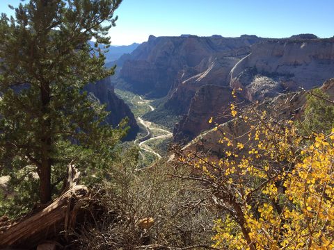
Observation Point sits roughly 700 feet above Angels Landing and looks down on it, and the East Mesa Trail gets you there almost level — you start high on the plateau and walk to the rim instead of climbing out of the canyon. The catch is access: a rough dirt road, no shuttle, no services. The best big overlook in Zion per unit of suffering, and no lottery.
Distance
6.8 mi round trip
Elevation gain
300 ft
Time
About 3 hr round trip
Start / parking
East Mesa Trailhead, reached only by high-clearance or 4WD dirt roads off North Fork Road
From our base
≈ 9 mi straight line

Best time: Morning, before the mesa bakes and before afternoon storms build

Good to know
  • Check the road first — a passenger car is not enough, and mud shuts it for days
  • Park only in designated spaces; illegally parked vehicles are cited or towed
  • Carry all your water; there is nothing at this trailhead

Season note: Roads can be "extremely muddy and inaccessible in the winter, spring, and after rainstorms"

Accessibility: Not accessible; the trailhead is not reachable by ordinary vehicles

Also consider

  • Kolob Canyons & Timber Creek OverlookKolob Canyons & Timber Creek OverlookA separate entrance at I-15 Exit 40, 40 miles from Zion Canyon and 17 miles south of Cedar City: a five-mile scenic drive under 2,000-foot crimson walls, no shuttle at all. Timber Creek Overlook is 0.6 mi each way with 117 ft of gain. The road can close in winter. Details about Kolob Canyons & Timber Creek OverlookPhoto: Anna Irene · CC BY-SA 2.0
  • The Subway (Left Fork of North Creek)Zion's other lottery. Bottom-up is a very strenuous 9-mile round trip with knee-deep water and boulder scrambling; top-down is a 9.5-mile technical through-hike needing rappelling skills, 60 feet of rope and swims through deep pools. A wilderness permit is always required, group size is capped at 12, and both a seasonal and a daily lottery run on recreation.gov. Details about The Subway (Left Fork of North Creek)
  • Kolob Terrace Road & Lava PointKolob Terrace Road & Lava PointThe high, quiet third of the park, climbing out of Virgin, UT into ponderosa country about an hour from Zion Canyon. Lava Point has six primitive campsites and a big overlook. Usually closed fall through spring for snow. Details about Kolob Terrace Road & Lava PointPhoto: Anna Irene · CC BY-SA 2.0

Photos & map

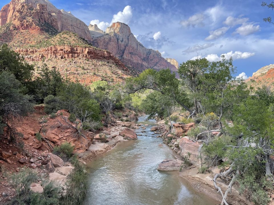
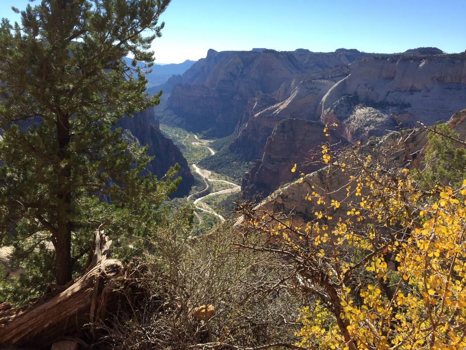
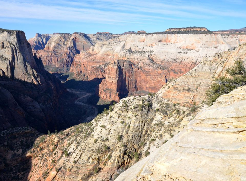
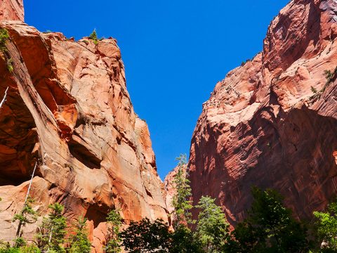
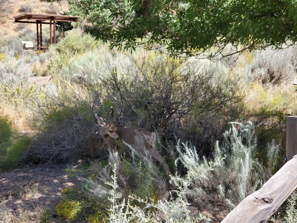
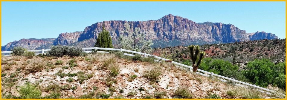
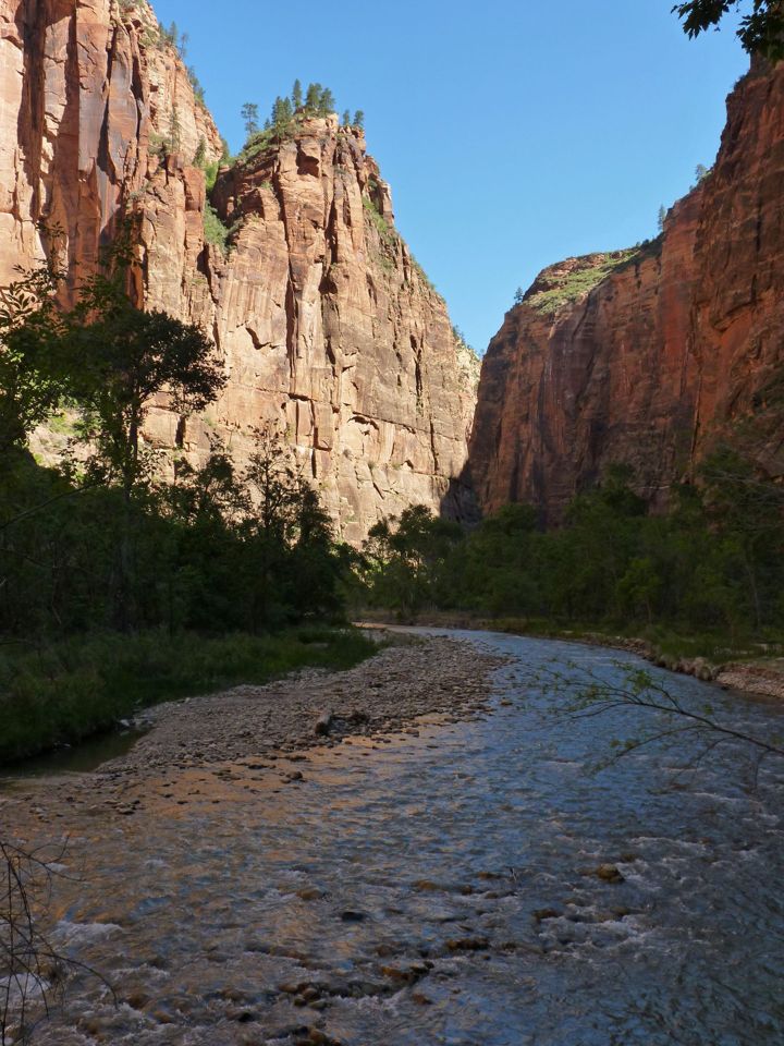
8 photos from Summer 2012 — the place, not the season: our trip is in late November, so expect it colder, quieter, and with lower light. Switch to the map to see where each one was taken alongside the Top 10.

Summer 2012 photos: Aaron Soto

Plan your visit

Getting there

FromRoute & timeMiles
LA / OC area (our route)I-15 north the whole way: through Las Vegas (our first night), across the Arizona Strip and the Virgin River Gorge, past St. George, then UT-9 east at Exit 16 through Hurricane and La Verkin to Springdale and the South Entrance. NPS puts Las Vegas → Springdale at 170 miles, about 2 h 45 min. Utah is on Mountain Time, one hour ahead of California.
St. George, UT (last big town)49 miles via I-15 north to UT-9 east. Full-size groceries here or in Hurricane; Springdale’s market is small.49 mi
Bryce Canyon / the eastEnter at the East Entrance, 13 miles west of Mt. Carmel Junction on SR-9, and drive the Zion–Mount Carmel Highway down into the canyon — only if your vehicle is under the tunnel size limits.150 mi

Getting around

From March 7 to November 28, 2026, and again December 26 to January 2, personal vehicles are barred from Zion Canyon Scenic Drive. The free Zion Canyon Line runs it with nine stops — Visitor Center, Human History Museum, Canyon Junction, Court of the Patriarchs, Zion Lodge, The Grotto, Weeping Rock, Big Bend, Temple of Sinawava — every 5–10 minutes, about 45 minutes end to end. Only Zion Lodge and Canyon Trail Rides guests with reservations, and medical accommodation permit holders, may drive it.

The free Springdale Line runs nine stops through town every 10–15 minutes to the park's Pedestrian/Bike Entrance. Park in town and ride in: the visitor center lot holds just over 350 cars and NPS says parking "often fills by early or mid-morning" February through November. Everything east of Canyon Junction, plus Kolob Canyons and Kolob Terrace Road, stays open to cars year-round.

Entrance fees & passes

$35 per private vehicle, $30 per motorcycle, $20 per person on foot or by bicycle (16+); standard passes are valid 7 days. A Zion Annual Pass is $70. America the Beautiful is $80 for residents and $250 for non-residents; Senior Annual $20, Senior Lifetime $80, Military and Access passes free. No charge for either shuttle. 2026 fee-free days: Feb 16, May 25, Jun 14, Jul 3–5, Aug 25, Sep 17, Oct 27, Nov 11.

Reservations & timed entry

You do not need a reservation or timed entry to enter Zion, and you do not need one to ride the shuttle — NPS states both plainly. The only things you reserve are an Angels Landing permit, a wilderness or canyoneering permit, a campsite, or a room. Camping is the tight one: Watchman books six months out and the park says campgrounds are "full almost every night mid-March through late November."

Fuel, food, water, cell

Open 24 hours a day, year-round. Zion Canyon Visitor Center 8 am–5 pm, Human History Museum 10 am–5 pm, Kolob Canyons Visitor Center 8 am–12 pm and 1 pm–5 pm; rangers answer 435-772-3256 from 10 am to 5 pm MT. Zion Lodge is the only place inside the park to buy food, and holds the gift shop and post office. Water and restrooms are at the visitor center, The Grotto, Scout Lookout and the Riverside Walk trailhead. Groceries, fuel, restaurants and the outfitters renting Narrows gear are in Springdale. Cell coverage is unreliable in the canyon — download maps first.

Permits

Required

Angels Landing permit

Everyone hiking past Scout Lookout needs one, via recreation.gov only. A seasonal lottery runs months ahead; a day-before lottery opens 12:01 a.m. and closes 3 p.m. MT with results at 4 p.m. MT. Cost: $6 per application (up to six people, non-refundable) plus $3 per person if awarded, refundable if you cancel two or more days out on a seasonal permit. Your start time is measured at The Grotto and rangers check anywhere on the trail. The 2026 seasonal lotteries ran Feb 13–25, Apr 1–20 and Jul 1–20; the one for Dec 1, 2026 – Feb 28, 2027 opens October 1, 2026.

Official page for Angels Landing permit

Optional / special

The Narrows bottom-up

No permit. You can walk upstream from the Temple of Sinawava as far as Big Spring without one. The limits are the river, not paperwork: the route closes above 150 cfs and during Flash Flood Warnings.

Official page for The Narrows bottom-up

Required

The Narrows top-down / overnight

The 16-mile through-hike from Chamberlain's Ranch needs a wilderness permit, as does any overnight campsite in the Narrows. Three routes to a day permit: an advance reservation on recreation.gov at least a day ahead, a daily lottery two days before (12:00 a.m.–3:00 p.m. MT), or first-come, first-served at the Wilderness Desk the day before. Day use is $6 per application plus $10 per person per day; overnight is $20 per reservation plus $7 per person per night. Arrange your own ride to Chamberlain's Ranch.

Official page for The Narrows top-down / overnight

Required

Canyoneering permits

Required for every canyon needing ropes or descending gear. Advance reservations open up to three months ahead and stay bookable until 5:00 p.m. MT the day before; a daily lottery runs two days out (12:00 a.m.–3:00 p.m. MT), and walk-in spaces go the day before at the Wilderness Desk. Fees: $6 per application plus $10 per person.

Official page for Canyoneering permits

Required

Wilderness / backpacking permit

Needed for all overnight backpacking, climbing bivouacs, Narrows and tributary through-hikes, and all trips into the Left Fork of North Creek. $20 per reservation plus $7 per person per night. Permits are picked up in person by the reservation holder at the Visitor Center Wilderness Desk and are non-transferable. Campfires are prohibited in the Zion Wilderness.

Official page for Wilderness / backpacking permit

Where to stay

Camping inside the park and lodging just outside it. Booking rules change; each card links to the official page and says exactly how it’s booked.

Lodging

Where we’re staying

town$$–$$$$

Springdale, UT

At the South Entrance — the park boundary is the north end of town

A single main street running up to the park gate, and where the overwhelming majority of Zion visitors sleep — several dozen hotels, motels, inns and B&Bs in a town of barely 600 people. The decisive feature is the free town shuttle: nine stops the length of town, every 10–15 minutes, same season as the park shuttle, ending at the park's Pedestrian/Bike Entrance. Stay anywhere in town and you reach the park without moving your car. Springdale also has the groceries, restaurants, fuel and the outfitters renting Narrows gear; town parking is paid, with large-vehicle spaces.

Examples: Cliffrose Springdale, Desert Pearl Inn, Cable Mountain Lodge, Flanigan's Inn, Bumbleberry Inn, Hotel DeNovo

Website for Springdale, UT

in-park lodge$$$–$$$$

Zion Lodge

Shuttle stop 5, in the middle of Zion Canyon

The only lodging inside the park: 76 hotel rooms, 6 suites and 40 historic cabins on the canyon floor at shuttle stop 5, with the Emerald Pools and Kayenta trailheads across the road. It is also the only place inside the park to buy food — Red Rock Grill year-round plus a seasonal café — and holds the gift shop and post office. Guests with reservations are among the few allowed to drive the Scenic Drive in shuttle season. Rooms open roughly a year ahead and popular dates vanish immediately: zionlodge.com.

Examples: Historic cabins with gas fireplaces, Hotel rooms with canyon-facing balconies, Red Rock Grill

Website for Zion Lodge

nearby town$–$$$

Nearby towns: Hurricane, La Verkin, St. George, Cedar City, Kanab

Hurricane and La Verkin on the UT-9 approach; St. George 49 mi; Cedar City 60 mi; Kanab east of the park

Hurricane and La Verkin are the standard budget answer — chain motels, RV parks and supermarkets directly on the UT-9 approach, so you are not detouring, just sleeping earlier on the same road. St. George (49 mi) has the deepest hotel supply; Cedar City (60 mi) is the practical base if you want Kolob Canyons first, 17 miles south at I-15 Exit 40. Kanab is the east-side base for a loop with Bryce Canyon and the North Rim — but check your vehicle size, since June 7, 2026 large vehicles cannot use that route. The tradeoff everywhere is arriving with the morning traffic rather than walking in ahead of it.

Examples: Chain motels along SR-9, RV parks, Vacation rentals

Website for Nearby towns: Hurricane, La Verkin, St. George, Cedar City, Kanab

Camping

Reservable developed

Watchman Campground

Just inside the South Entrance, next to the Zion Canyon Visitor Center and the Pedestrian Entrance. Walk to the shuttle stop, and walk into Springdale for dinner.

Sites
Five loops, A through F
Cost
$45/night electric; $35/night non-electric
Season
Year-round
Good for
Tents and RVs in A/B; non-electric C/D loops cap vehicles at 19 ft
drinking waterflush toiletspicnic tableselectric hookups (A and B loops)dump stationno showersno generators
How to book
100% reservation — no first-come, first-served sites. Standard sites open on recreation.gov six months in advance, and the park says campgrounds are "full almost every night mid-March through late November." Five loops: A and B electric (30-amp, a few 50-amp), tents or RVs; C and D non-electric, barring vehicles 19 feet or over including combined length; E tent-only group sites for 7–40 people; F walk-to, tent-only. No hookups beyond power and no water or sewer at sites, but a dump station with potable water sits at the entrance ($5 for non-campers). Sites take 6 people, 2 vehicles, 3 tents; check-out 11 am, check-in after 12 pm, quiet hours 10 pm–8 am.

Official page / booking for Watchman Campground

Reservable developed

South Campground

Also near the South Entrance, within walking distance of the visitor center, the shuttle and Springdale.

Sites
Varies — the park has not published a post-rehabilitation site count
Cost
$35/night, non-electric
Season
Seasonal; closed in winter
Good for
Tents and smaller RVs; the fallback when Watchman is full
drinking waterflush toiletspicnic tablesdump stationgenerators 8–10 am and 6–8 pmno hookups
How to book
Reopened May 29, 2026 after a full rehabilitation — no longer closed. Reservations are required on recreation.gov and open only 14 days before arrival, a short sharp window that makes it a real option for trips you did not plan six months out. Closes for winter. Unlike Watchman, generators are allowed, 8–10 am and 6–8 pm only.

Official page / booking for South Campground

Reservable primitive

Lava Point Campground

High on Kolob Terrace Road, roughly an hour from Zion Canyon — cool, forested, and removed from the canyon scene.

Sites
6 primitive sites
Cost
$25/night
Season
Seasonal; road typically closed fall into spring
Good for
Tents and small vehicles; escaping the canyon heat
pit toiletsfire ringspicnic tablestrash cansno water
How to book
Six primitive sites, reservable on recreation.gov up to 14 days in advance. There is no water — bring everything. Closes seasonally, and Lava Point Road is typically closed fall into spring. It cannot be part of a wilderness backpacking itinerary. Generators 8–10 am and 6–8 pm.

Official page / booking for Lava Point Campground

Safety & know-before-you-go

The handful of things that actually hurt people here, with the specific rule that prevents each one — sorted for our dates (late November).

For our dates

critical

Flash floods

Flash floods happen year-round and peak with the monsoon — July and August average 14 and 15 thunderstorm days. They arrive as sudden surges carrying tree trunks and boulders, and a storm miles away can trigger one under blue sky. The park posts a daily flash flood potential rating: not expected, possible, probable, expected. Check it and the river flow before any slot canyon or the Narrows, which closes above 150 cfs and in any Flash Flood Warning. If water rises or muddies, get high — do not run downstream.

critical

Falls

NPS states it directly: "Falls from cliffs on trails have resulted in death." Angels Landing is the sharpest example — press tallies compiled in 2021 counted 13 deaths in falls on Angels Landing and its approach since 2000, most on the final chained section; the park publishes no running total. The mechanics are ordinary: loose sand on slickrock is slippery, the ridge narrows to under three feet with 1,000-foot drops, and two-way traffic forces passing in bad places.

critical

Cold water and hypothermia in the Narrows

The Narrows is a cold-water hike even in July: 56–68°F in summer, 41–53°F spring and fall, 38–45°F in winter, and you are in it for hours with little sun. NPS calls hypothermia "the number one killer of outdoor recreationists, even in summer" and a greater hazard in narrow canyons. Wear quick-drying layers, never cotton; rent neoprene socks and canyoneering boots spring and fall, a wetsuit or drysuit in winter. Carry a stick — the riverbed is slick, uneven and invisible.

important

Toxic cyanobacteria in the Virgin River

A health watch advisory is in effect (updated 2026-05-21) for the North Fork of the Virgin River — the Narrows, Pine Creek, Deep Creek, Kolob Creek, Orderville Canyon, the Emerald Pools — plus North Creek and La Verkin Creek. Do not touch or ingest algae mats, do not submerge your head, and do not drink in-stream water: no recreational filter removes cyanotoxins. Children and dogs are most at risk. Wading is not prohibited.

important

Rockfall

Rockfall is an ongoing hazard throughout Zion, especially near cliff faces — the 2019 rockfall near Weeping Rock still has the East Rim Trail partially closed and Hidden Canyon shut. Do not linger under overhangs or at the base of cliffs, and never throw or roll rocks. If rockfall starts and you cannot move clear, shelter behind a large boulder and pull your pack over your head. Keep your distance from wildlife too: NPS warns that contact with animals or their droppings can transmit dangerous illnesses.

note

Winter ice

Zion Canyon gets 13–20 freezing nights a month December through February, and nearly half the year's precipitation falls December through March. Canyon-floor snow melts fast, but ice persists on shaded slickrock, on the Angels Landing chains, and on the paved Riverside Walk, which can close when it glazes over. Traction devices are worth the space.
Risks in other seasons (1)

critical

Heat

July averages 100°F with 16 days over 100°F, and June and August are barely cooler. NPS is specific: "Carry enough water, at least one gallon per person per day, and drink it" — and eat with it, because water alone does not replace salt. Start at first light and be off exposed rock by late morning. Heat exhaustion looks like nausea, headache, cramps and cool clammy skin: stop, find shade, elevate the feet, take fluids and food. Heat stroke is an emergency.

Frequently asked

About the park in general. Trip questions are on The Trip.

Do I need a reservation to enter Zion?
No. NPS states it plainly: "You do not need a permit or reservation to enter the park" and "You do not need a permit or reservation to ride a park shuttle." You do pay the entrance fee — $35 per vehicle, valid 7 days. The only reservations in play are Angels Landing permits, wilderness and canyoneering permits, campsites and rooms.
Can I drive Zion Canyon Scenic Drive?
Not during shuttle season. In 2026 the shuttle runs March 7 through November 28 plus December 26 to January 2, and personal vehicles are barred throughout; the exceptions are Zion Lodge and Canyon Trail Rides guests with reservations and medical accommodation permit holders. Outside those dates you can drive it — though the road closes for the day once its parking fills, common December through February. Everything east of Canyon Junction, plus Kolob Canyons and Kolob Terrace Road, is drivable all year.
How do I get an Angels Landing permit?
Only through recreation.gov, in one of two lotteries. The seasonal lottery runs months ahead for a three-month block; the one covering December 1, 2026 to February 28, 2027 opens October 1, 2026, closes October 20, permits issued October 25. Otherwise the day-before lottery opens 12:01 a.m. and closes 3 p.m. MT, results at 4 p.m. MT the same day. Either way: $6 per application for up to six people plus $3 per person if you win. No permit is needed to reach Scout Lookout, which is most of the climb and much of the view.
Can kids do the Narrows?
No minimum age, and plenty of families do the first mile or two — but be honest about conditions: you are wading a moving river over slick, uneven, invisible cobbles in water that is 56–68°F at its warmest and 41–53°F spring and fall, and current knee-deep on an adult is waist-deep on a child. Rent proper boots and a stick, go in late summer or early fall when flow is lowest, turn around early, and keep heads out of the water. If in doubt, the Riverside Walk gets the same scenery with none of it.
When is the shuttle running?
In 2026, March 7 to November 28, then a holiday run December 26 to January 2. The first bus leaves the visitor center at 7:00 am all season (8:00 am over the holidays). Last departure up-canyon is 6:00 pm Mar 7–May 16, 7:00 pm May 17–Sep 12, 6:00 pm Sep 13–Oct 24 and 5:00 pm Oct 25–Nov 28; the last bus down from Temple of Sinawava runs about 75 minutes later. Every 5–10 minutes in the canyon, 10–15 in Springdale. Free — no ticket, no reservation.
Is Zion open in winter?
Yes — open 24 hours a day, 365 days a year, and the only time you can drive the Scenic Drive yourself. Highs run 54–59°F with 13–20 freezing nights a month, and canyon-floor snow usually melts within hours. The catches: ice on the chains and shaded slickrock, Riverside Walk closures, Kolob Terrace Road closed and Kolob Canyons Road frequently closed, South Campground and Lava Point shut, and the Scenic Drive closing for the day when its parking fills. Watchman stays open year-round.
Where do I park?
The visitor center lot has just over 350 spaces and the Human History Museum 51, and NPS says parking "often fills by early or mid-morning" February through November — in summer often by 9:00 am. The reliable move is to park in Springdale, which has paid street and lot parking including large-vehicle spaces, and ride the free town shuttle to the Pedestrian Entrance. If you must park inside, arrive before 8 am or after 4 pm, and prefer weekdays.