← All tripsCalifornia

Red Rock Canyon State Park

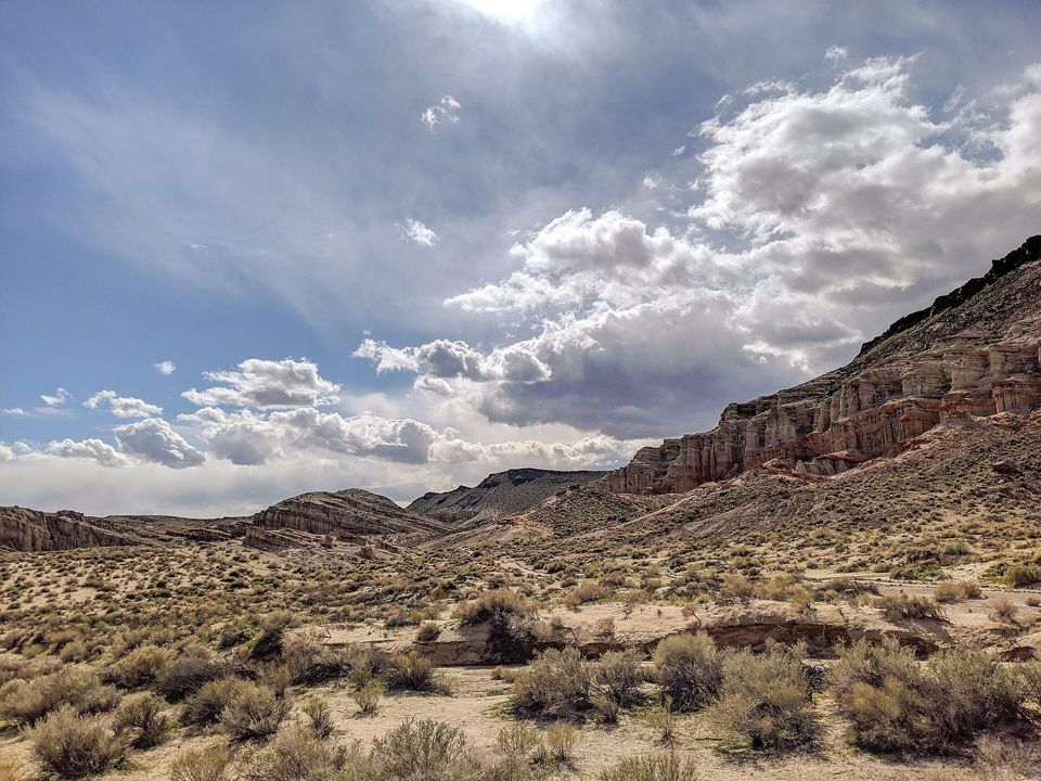
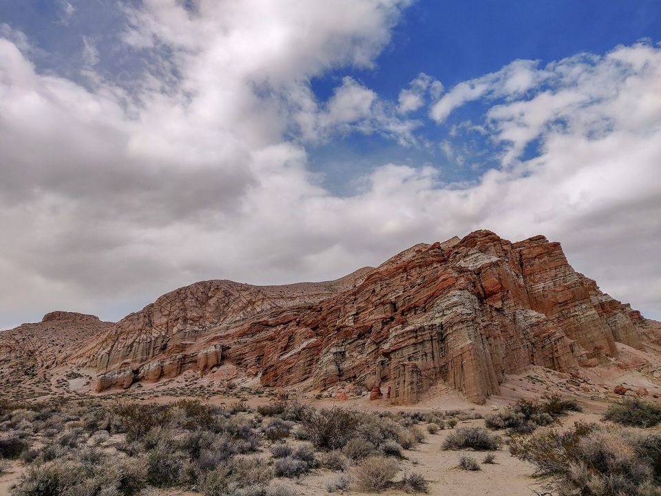
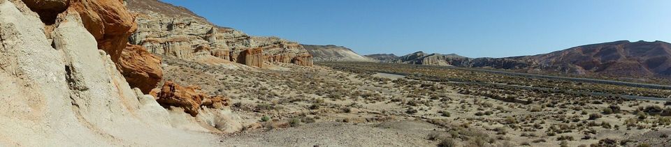
Colored cliffs off CA-14 in Kern County, with first-come camping at Ricardo Campground.

My picks Sign in
📅 Sat Oct 24 – Sun 25, 20261 nightcamping at Ricardo Campground, Red Rock Canyon State ParkJoin this trip →

Red Rock Canyon — an easy overnight, October 24–25, 2026

Change of plans, same weekend: storms washed out the Painted Canyon ladder trail in Mecca Hills, so we are camping one night at Ricardo Campground in Red Rock Canyon State Park instead. Colored cliffs, short hikes kids can do, a campground with water and toilets, and a nearly full moon. Home Sunday.

When

Sat Oct 24 – Sun 25, 2026

1 night ·

+ Add to calendar

Roughly what it costs

  • Camping$25/night per siteIncludes one vehicle; seniors $23; $6 per extra vehicle. Up to 8 people per site.
  • Day use$6 per vehicleOnly if you are not camping; seniors $5.
  • California Campfire PermitFreeOnline at California Campfire Permit.
  • Gas or chargingvariesAbout 158 miles each way direct from Huntington Beach.

A cheap night: one shared site fee, food and fuel.

Home base · campsite

Ricardo Campground, Red Rock Canyon State Park

Ricardo Campground, a quarter mile west of CA-14 on Abbott Drive, at about 2,670 feet: Google Maps · Apple Maps. It has 50 first-come sites, potable water, pit toilets, metal fire rings and picnic tables, but no hookups or showers. Up to 8 people per site. Quiet hours are 10 p.m. to 6 a.m. If it is full, our backup is free dispersed camping (camping outside a campground, with no facilities) on BLM land at Dove Springs, about 6 miles north: Google Maps · Apple Maps. Download both maps offline before you leave home.

Open in maps

Affects our dates · checked 2026-10-24

  • No storm closures are posted for the park as of the morning of October 24, 2026. State Parks still notes trail damage from Tropical Storm Hilary in 2023 and asks visitors not to enter areas closed for storm damage. Ruins Ridge, Steep Trail and the Steep Trail Complex are permanently closed to vehicles. source
  • BLM seasonal fire restrictions run through October 29, 2026 on BLM land in eastern Kern County, which includes our backup site. There, wood and charcoal fires are out outside developed sites; stoves with shut-off valves are fine with a California Campfire Permit. Ricardo is State Parks land, where fires are allowed in the provided metal fire rings. source

Getting in

Saturday October 24: meet at the Tesla Supercharger, 39626 10th St W, Palmdale, CA 93551, between 10:15 and 10:30 a.m. to charge and eat (Google Maps · Apple Maps). All the Tesla Superchargers on the way up CA-14, by city heading north (stall counts from supercharge.info):
· Palmdale: 39626 10th St W (24 stalls · our planned meetup; Five Guys, Cafe Rio and IHOP along 10th St W)
· Palmdale: 1233 Rancho Vista Blvd (20 stalls · at the Antelope Valley Mall)
· Lancaster: 43500 13th St W (16 stalls)
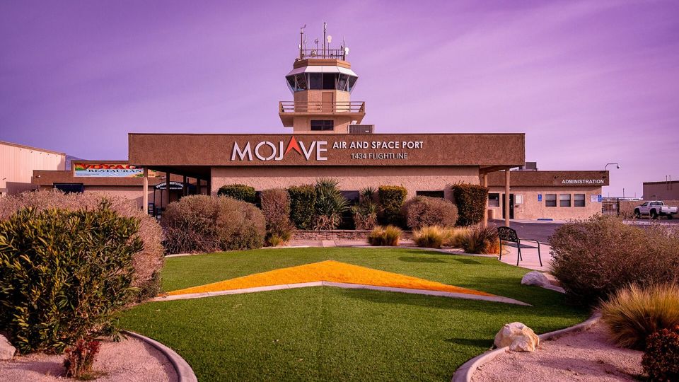
· Mojave: 16870 CA-14 (20 stalls · Mojave Thai Cuisine on site)
· Mojave: 16862 CA-14 (12 stalls · at The Workz Mojave)
· Mojave: 16940 CA-14 (12 stalls · near Anthony's Grill)
· Mojave: 16246 Sierra Hwy (12 stalls)
The Palmdale meetup is about 99 miles and just over 2 hours from Huntington Beach with no traffic, so leave by about 8:10 a.m.: I-405 north to I-5 north, then CA-14 north to Palmdale. Five Guys, Cafe Rio and IHOP are along 10th St W nearby. From Palmdale it is about 59 miles and 1¼ hours up CA-14 through Lancaster and Mojave to Abbott Drive and Ricardo Campground (Google Maps · Apple Maps · whole route with the Palmdale stop). Buy ice and anything you forgot in Mojave, the last real town. That puts us at camp around 12:45 p.m., in time to claim sites, self-register, and drive over to the Hagen Canyon and Red Cliffs trails for the afternoon.

Getting out

Sunday October 25: a slow morning, pack out, and drive home down CA-14. Optional add-ons on the way: the visitor center and Ricardo Nature Trail (open 9 a.m.), a short drive into Jawbone Canyon off CA-14, or, for high-clearance vehicles only, Last Chance Canyon on the park's dirt roads. Randsburg, Burro Schmidt Tunnel and Trona Pinnacles are longer detours east.

Dates that matter

  1. Sat Oct 24, 2026Meet at the Palmdale Supercharger 10:15–10:30 a.m.; at camp around 12:45 p.m.; sunset 6:06 p.m.

Main Attraction & Nearby Fun

No fixed schedule — these are the 10 things worth the trip, ranked by popularity. Tap one for the full card; Add to my picks builds a list you can send Aaron.

My picks

What these dates mean

Weather

National Weather Service forecast for camp, issued this morning: sunny, high near 73°F Saturday with north-northeast wind 5 to 15 mph; clear Saturday night, low around 52°F; sunny Sunday, high near 74°F with light wind. No wind, red flag (fire weather) or flash flood alerts are active for the park or the backup site.

Daylight and moon

Sunrise 7:06 a.m. and sunset 6:06 p.m. on Saturday, with twilight until about 6:32 p.m. The moon is about 97% full (full on October 25) and rises around sunset, so camp will be bright all night.

Getting a site

Ricardo is first come, first served, and State Parks warns it can fill on fall weekends. We will grab sites as soon as we arrive. Pay by self-pay envelope at the entrance; bring cash or a check in case the visitor center is closed.

Camp life: water, toilets, trash

Ricardo has potable water and pit toilets, plus picnic tables and metal fire rings. No hookups, no showers. Generators off from 8 p.m. to 10 a.m.

Campfire

At Ricardo, wood fires are fine in the provided metal fire rings; buy firewood at the visitor center. If we end up at the BLM backup, no wood fires through October 29, so Aaron's propane fire pit comes out, and whoever runs a stove or propane fire needs a free California Campfire Permit.

After the storms

The park lists no new storm closures this morning. Older storm damage from 2023 is still noted; obey any closed-area signs, and ask at the visitor center before taking dirt roads.

Dogs and cell service

Dogs are welcome in camp on a 6-foot leash but not on the trails. Cell service varies; download offline maps before you leave.

Bring

Want to come?

It is one night, about three hours from home, at a campground with water and toilets and hikes short enough for kids. If you were coming to Mecca Hills, the plan works the same way.
  1. Tell Aaron you are in: how many people and what you are driving.
  2. Bring cash for the site envelope and grab a free California Campfire Permit if you are bringing a stove.
  3. Meet at the Palmdale Supercharger 10:15–10:30 a.m., or head straight to Ricardo Campground.
  4. Tap Add to my picks on what you want to do, then send Aaron the link.
Add to calendar

Sign-in, RSVPs and who’s coming load here on juntar.net. If they don’t, text Aaron directly.

Questions people ask before saying yes

Roughly what will this cost me?
$25 per site per night (one vehicle included, $6 per extra), split however your group likes, plus food and fuel.
Is it kid-friendly?
Yes. The hikes are short, there is water and pit toilets at camp, and the Desert View trail starts in the campground. Watch kids crossing CA-14.
What car do I need?
Any car. The highway and campground roads are paved or graded. Only the optional dirt-road side trips need high clearance.
What if the campground is full?
We move to the free BLM backup at Dove Springs, about 6 miles north, which has two vault toilets but no water.
Can I come just for the day?
Yes. Day use is $6 per vehicle, and the park is open sunrise to sunset.
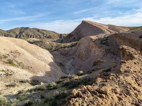
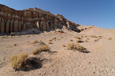
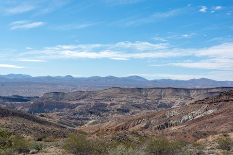
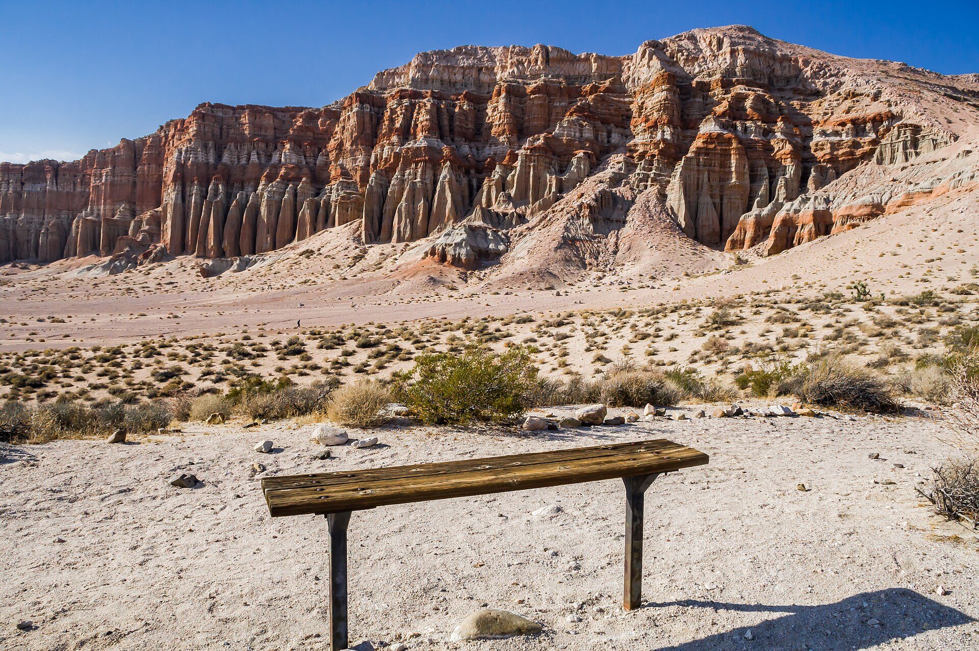
Banded white, pink and red cliffs of Red Rock Canyon State Park under a clear desert sky

Red Rock Canyon State Park

Colored cliffs off CA-14 in Kern County, with first-come camping at Ricardo Campground.

Photo: Ron Reiring · CC BY 2.0

Day use
$6 per vehicle
Seniors $5. Camping includes parking for one vehicle
Camping
$25/night per site
Ricardo Campground, 50 first-come sites, seniors $23, extra vehicle $6
Reservations
None
First come, first served; self-register before setting up
Elevation at camp
About 2,670 ft
USGS elevation at Ricardo Campground
Managing agency
California State Parks
Mojave Sector Office (661) 946-6092; visitor center (442) 247-5160
Dogs
Campground and roads only
Not on trails; 6-foot leash
Drive from Huntington Beach
About 3¼ hours
About 158 miles, routing estimate with no traffic

Current conditions · checked 2026-10-24 · 3 items

  • affects our dates No storm closures are posted for the park as of the morning of October 24, 2026. State Parks still notes trail damage from Tropical Storm Hilary in 2023 and asks visitors not to enter areas closed for storm damage. Ruins Ridge, Steep Trail and the Steep Trail Complex are permanently closed to vehicles. source
  • affects our dates BLM seasonal fire restrictions run through October 29, 2026 on BLM land in eastern Kern County, which includes our backup site. There, wood and charcoal fires are out outside developed sites; stoves with shut-off valves are fine with a California Campfire Permit. Ricardo is State Parks land, where fires are allowed in the provided metal fire rings. source
  • Nightmare Gulch is closed February through June for raptor nesting and is open July through January to people on foot and horseback only; it is closed to vehicles until further notice. source

Why go

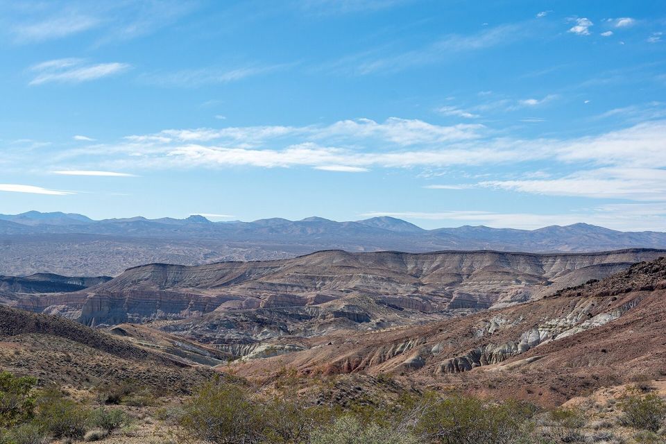
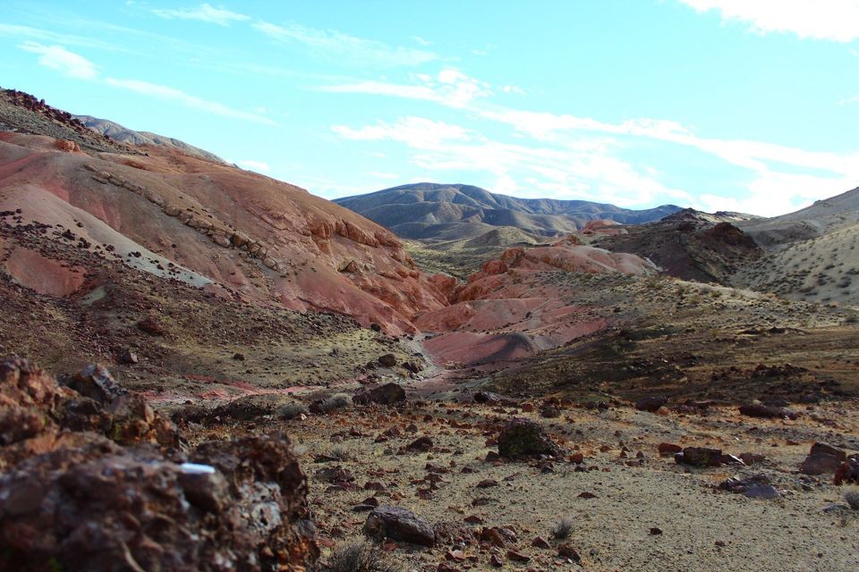
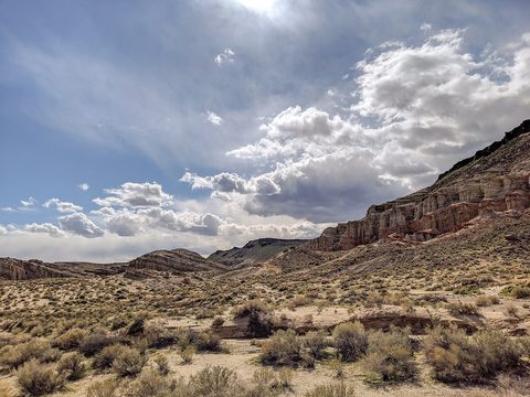
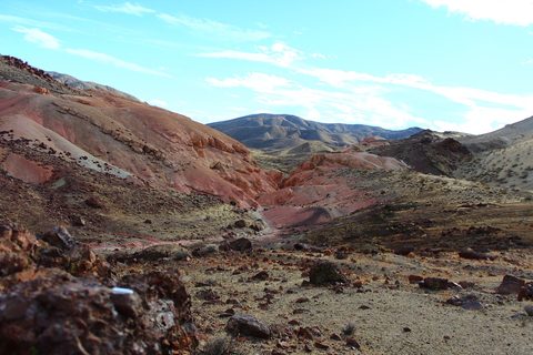
Red Rock Canyon State Park sits where the El Paso Mountains meet the southern Sierra Nevada, about 25 miles northeast of Mojave on CA-14. State Parks describes layers of white, pink, red and brown cliffs on both sides of the highway, capped by darker lava, a landscape that has stood in for other planets in films and commercials.

The campground, Ricardo, tucks under the cliffs with water, pit toilets, fire rings and tables. Short nature trails start minutes away: Hagen Canyon, Red Cliffs, and the Desert View climb from camp.

It is small, simple and close enough for one night.

Best for

Short family hikesFirst-come campingDesert geologyPhotographyStargazing

Don’t miss

  1. The Hagen Canyon amphitheater in late light
  2. The Red Cliffs at sunset
  3. The view from the Desert View ridge above camp
  4. Moonrise over the cliffs

Full details in Top 10.

When to go

Best

Spring

Mar–May

Highs varies · Lows varies

Prime season. State Parks says the campground can fill on spring weekends and suggests arriving Thursday evening or Friday morning. Nightmare Gulch is closed February through June.
Hard

Summer

Jun–Aug

Highs varies · Lows varies

Hot desert summer at about 2,700 feet. Hike only at dawn, carry plenty of water, and expect an empty campground.
Best

Fall · our trip

Sep–Nov

Highs varies · Lows varies

The other prime season, with weekend nature walks and campfire programs. Like spring, fall weekends can fill the campground. BLM fire restrictions nearby usually run into late October.
Good

Winter

Dec–Feb

Highs varies · Lows varies

Cold nights and short days, but quiet. Rain can wash out dirt roads and damage trails, as storms have before.

Top 10 natural attractions

Ranked by popularity. Distances and times are official park figures where available. Tap Add to my picks to build a list you can send the host.

Hagen Canyon Nature Trail1

Hagen Canyon Nature Trail

HikeEasyNo permit
The park's signature walk: a short loop into a natural amphitheater of white, pink, red and brown cliff bands on the west side of the canyon, the scenery the park says has drawn filmmakers for decades. It is short and mostly flat, so it is the obvious first hike once camp is set. State Parks does not publish a trail length; trail guides put it at roughly a mile.
Distance
Short loop (about 1 mi, unofficial)
Elevation gain
Minimal
Time
About 1 hr
Start / parking
Hagen Canyon trailhead, west side of CA-14 near Abbott Drive
From our base
≈ 0.8 mi straight line

Best time: Late afternoon, when the low sun lights the cliffs

Good to know
  • Dogs are not allowed on park trails, so leave them at camp with someone.
  • Stay on the trail; the soft badland walls crumble and State Parks protects every rock and fossil.
  • Tropical Storm Hilary damaged park trails in 2023; obey any closed-area signs.
  • Pair it with Red Cliffs across the highway for a two-hike afternoon.

Accessibility: Dirt trail with some uneven footing; no restroom at the trailhead.
Red Cliffs Natural Preserve2

Red Cliffs Natural Preserve

HikeEasyNo permit
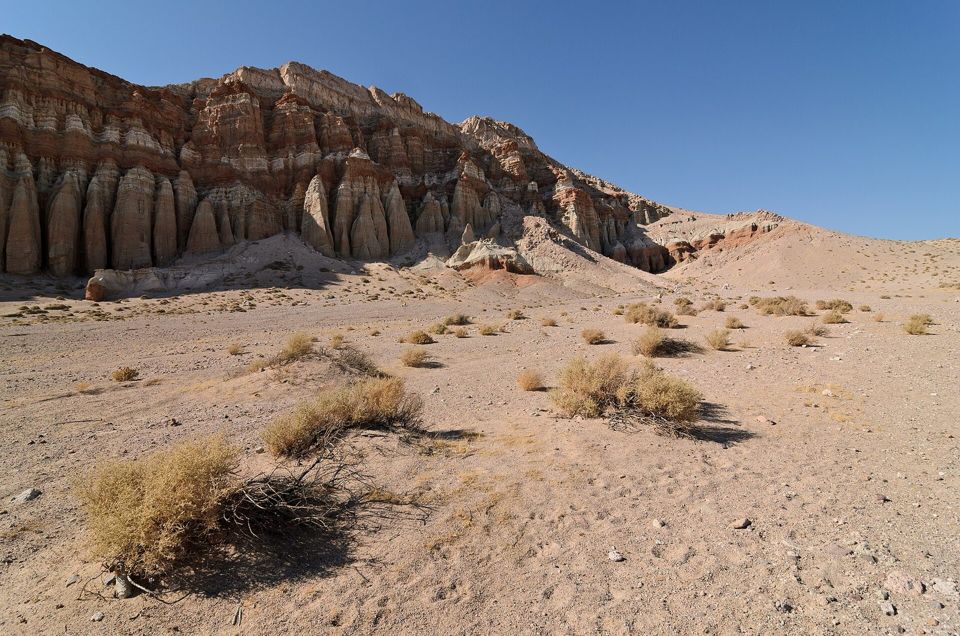
The tall, deep-red cliffs on the east side of CA-14 that give the park its name, capped by darker lava. A short trail runs along their base from the Red Cliffs day-use area, which has accessible picnic sites and an accessible restroom. Trail guides disagree on the length (0.9 to 1.6 miles), so treat it as an easy hour.
Distance
About 1 mi out and back (unofficial)
Elevation gain
Minimal
Time
About 1 hr
Start / parking
Red Cliffs day-use area, east side of CA-14
From our base
≈ 1.9 mi straight line

Best time: Late afternoon, when the red cliffs glow

Good to know
  • Use the restroom at the day-use area; there are none on the trail.
  • Cross CA-14 carefully: it is a fast highway through the park.
  • The red color is best in the last hour before the 6:06 p.m. sunset.
  • Equestrians use this area for day rides; give horses room.

Accessibility: Red Cliffs day-use area has 2 accessible picnic sites and an accessible restroom (State Parks).

Red Rock Canyon State Park cliffs3

Desert View Nature Trail

HikeModerateNo permit
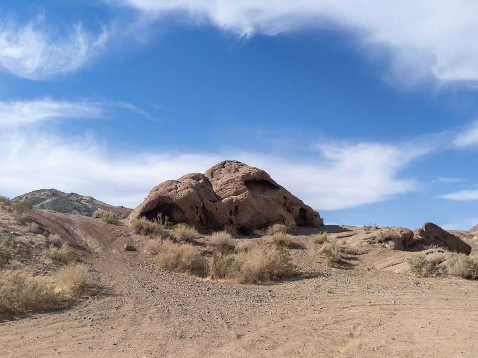
The walk you can do without moving the car: a short, fairly steep climb from the campground up onto the ridge above it for a view over the canyon, the El Paso Mountains and the desert floor. The park's interpretive association publishes a brochure for it. With a nearly full moon rising around sunset on Saturday, this is the sunset walk.
Distance
Short climb; length not published
Elevation gain
Steep at the start (unofficial)
Time
Under 1 hr
Start / parking
Starts at Ricardo Campground
From our base
≈ 0.1 mi straight line

Best time: Sunset or moonrise, straight from camp

Good to know
  • It starts in the campground, so no driving is needed.
  • Bring a headlamp down; twilight ends around 6:32 p.m.
  • Kids love it, but the loose slope needs a hand on the way down.
Desert cliffs in Red Rock Canyon State Park4

Ricardo Nature Trail and visitor center

WalkEasyNo permit
An easy loop by the visitor center, which is open Saturday and Sunday 9 a.m. to 5 p.m. and sells firewood. The visitor center is where to ask about trail conditions after the storms, and the park lists weekend nature walks and campfire programs in spring and fall, including a walk on October 24.
Distance
Short walk; length not published
Elevation gain
Flat
Time
30–60 min
Start / parking
Red Rock Canyon visitor center
From our base
≈ 1.2 mi straight line

Best time: Saturday or Sunday while the visitor center is open (9 a.m.–5 p.m.)

Good to know
  • Buy firewood here instead of bringing it from home.
  • Ask staff about any storm damage on the trails.
  • Check the park events page for the October 24 walk time.
Last Chance Canyon5

Last Chance Canyon

CanyonModerateNo permit
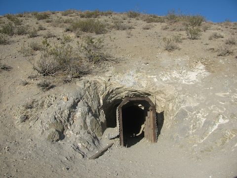
A longer canyon running north from the park into the El Paso Mountains, reached on primitive dirt roads that State Parks opens to licensed vehicles, including street-legal and green-sticker off-highway vehicles. Old mining sites and colorful walls line the way. Road conditions after this week's storms are unknown, so ask at the visitor center first.
Distance
Varies; dirt roads
Time
Half day
Start / parking
Off Abbott Drive / the park's primitive roads
From our base
≈ 6 mi straight line

Best time: Sunday morning, if you have a high-clearance vehicle

Good to know
  • High clearance and ideally four-wheel drive; do not try it in a low car.
  • Ask at the visitor center about washouts before you go.
  • Stay on existing roads; mining sites are hazardous and protected.
Burro Schmidt Tunnel6

Burro Schmidt Tunnel

AreaModerateNo permit
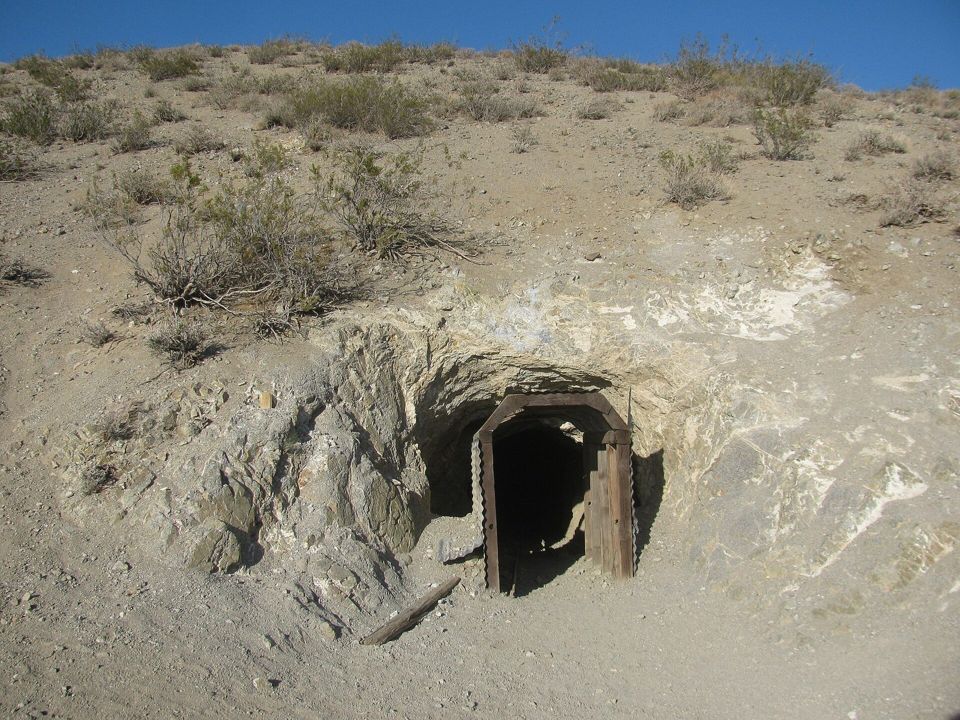
A tunnel one man dug by hand through a mountain over decades in the early 1900s, now a famous desert curiosity in the El Paso Mountains east of the park. Access is on rough dirt roads; no official page with current access was found, so treat this as an expedition, not an add-on, unless the roads are known to be good.
Distance
Dirt-road drive; no official length
Time
2–3 hr round trip from camp
Start / parking
El Paso Mountains, on dirt roads east of the park
From our base
≈ 13 mi straight line

Best time: Sunday morning on the way out, high-clearance vehicles only

Good to know
  • Bring a flashlight for everyone if you go inside.
  • High clearance needed; road status after the storms is unknown.
  • No services at all; carry water and tell someone where you are going.
Randsburg7

Randsburg

AreaEasyNo permit
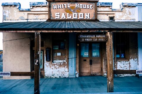
A half-living 1890s gold-mining town on the far side of the El Paso Mountains, with old storefronts, a small museum and a general store. An easy paved detour that turns a morning hike into a little road trip.
Distance
Paved, east of the park
Time
1–2 hr
Start / parking
Butte Avenue, Randsburg
From our base
≈ 19 mi straight line

Best time: Sunday late morning

Good to know
  • Hours of the shops and museum vary; many open only on weekends.
  • Combine it with the drive home if you are heading south on US-395.
  • Watch for off-highway vehicles in town.
Jawbone Canyon8

Jawbone Canyon

AreaEasyNo permit
A BLM off-highway vehicle area just south of the park, known for its colorful hills and the Jawbone Station visitor center, where BLM hands out maps and information. The whole area is open to primitive camping. Mostly of interest to riders, but the canyon drive is scenic.
Distance
Off CA-14 south of the park
Time
30 min–2 hr
Start / parking
Jawbone Station, 28111 Jawbone Canyon Rd, Mojave
From our base
≈ 5 mi straight line

Best time: On the way in or out along CA-14

Good to know
  • Stop at Jawbone Station for BLM maps of the whole area.
  • Outside the open area, vehicles stay on routes marked with brown markers.
  • Expect dust and engine noise on weekends.
Trona Pinnacles9

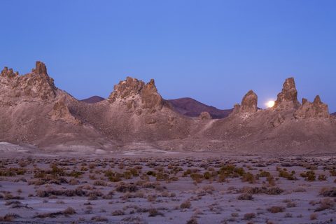
Trona Pinnacles

AreaEasyNo permit
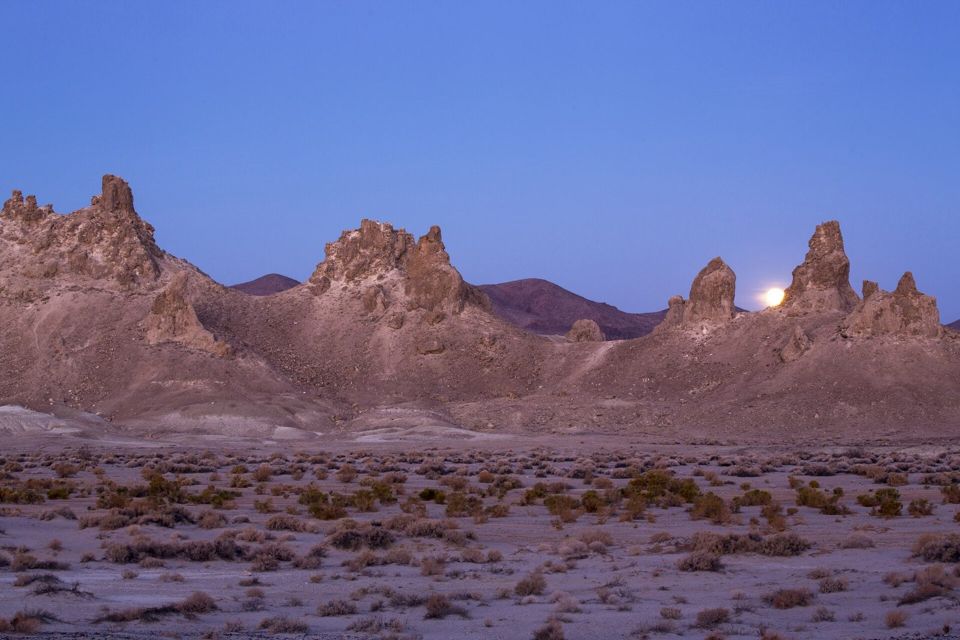
Hundreds of tufa spires rising from a dry lakebed, about 20 miles east of Ridgecrest. BLM says the 5-mile dirt road is usually passable in two-wheel drive but may close after heavy rain. There is a single vault toilet, no water and no trash service.
Distance
5 mi of dirt road off CA-178
Time
Half day from camp
Start / parking
BLM road RM143 off CA-178, about 20 mi east of Ridgecrest
From our base
≈ 40 mi straight line

Best time: Sunday, with plenty of daylight

Good to know
  • After this week's storms, call BLM Ridgecrest (760-384-5400) on Monday about the road, or assume it may be wet.
  • Pack out all trash; there is no service.
  • It is a long detour from camp; make it its own trip if time is short.
Fossil Falls10

Fossil Falls

HikeEasyNo permit
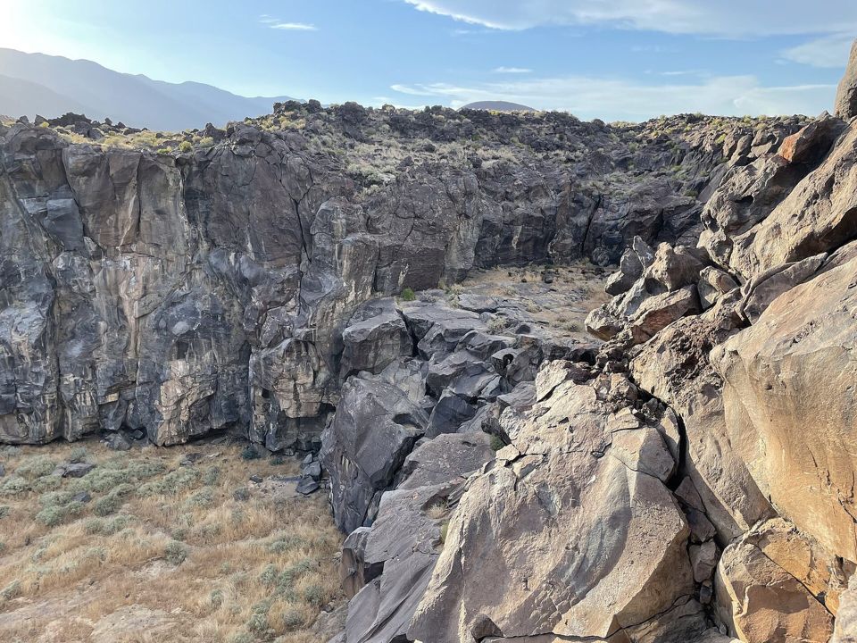
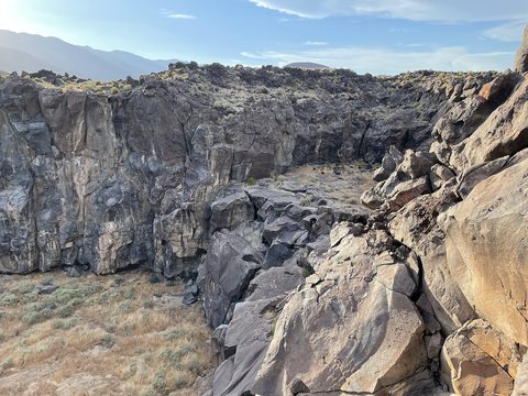
BLM describes a short trail through the smooth, polished remnants of a 20,000-year-old lava flow, carved by a river that is long gone. Small BLM campground and day-use area. North of the park, so it fits only if someone is heading home the long way or exploring Sunday.
Distance
Short trail (BLM)
Time
About 1 hr
Start / parking
Cinder Road off US-395, north of Little Lake
From our base
≈ 42 mi straight line

Best time: On a drive north on US-395

Good to know
  • The polished rock is slick and the drops are real; watch kids near the edges.
  • Bring water; there is no shade.
  • Combine with a drive up US-395 if you have the time.
Sources: blm.gov — source for Fossil FallsPhoto: Blervis · CC0

Also consider

  • Nightmare GulchNightmare Gulch — A remote canyon inside the park with limited access: closed February through June for nesting raptors, open July through January on foot or horseback only, and closed to vehicles until further notice. Details about Nightmare GulchPhoto: Matthew Dillon · CC BY 2.0
  • Desert Tortoise Research Natural Area — A BLM-managed preserve near California City with an interpretive area for California's state reptile. Worth a stop on a drive through California City. Details about Desert Tortoise Research Natural Area
  • Weekend programs at the park — State Parks lists weekend nature walks and campfire programs in spring and fall, with a walk on October 24 and October 31, 2026. Check times at the visitor center. Details about Weekend programs at the park
  • The moon over the cliffs — On October 24 the moon is about 97% lit and rises around sunset; it is full on October 25. Expect a bright night, good for walking around camp and poor for the Milky Way. Details about The moon over the cliffs

Photos & map

No photos from past trips yet — the map still shows where the Top 10 and our home base are.

Plan your visit

Getting there

FromRoute & timeMiles
Huntington Beach and the LA/OC areaNorth on I-405 and I-5 to Santa Clarita, then CA-14 north through Palmdale, Lancaster and Mojave. About 25 miles past Mojave, turn west on Abbott Drive (signed) for a quarter mile to the park. State Parks puts it about 120 miles north of Los Angeles. From Huntington Beach it is about 158 miles and 3¼ hours with no traffic (routing estimate).158 mi
Via VictorvilleI-15 north over Cajon Pass, then US-395 north and west across the desert to CA-14. About 190 miles and 4 hours with no traffic (routing estimate), so only worth it if you are already out that way.190 mi

Getting around

Everything in the park is a short drive from camp, and the Desert View trail starts in the campground. The park's primitive dirt roads are open to licensed vehicles, including street-legal and green-sticker off-highway vehicles; bicycles stay on roads. Overnight parking in the day-use lot is not allowed. Drones are prohibited.

Entrance fees & passes

Day use is $6 per vehicle ($5 seniors, $3 disabled). Camping at Ricardo is $25 per night per site including one vehicle ($23 seniors 62 and over), and each additional vehicle is $6. Special rates may apply on peak weekends and holidays.

Reservations & timed entry

None. Ricardo Campground is first come, first served, with self-registration and payment before you set up. State Parks says it can fill on spring and fall weekends and holidays.

Fuel, food, water, cell

Ricardo has potable water, pit toilets, fire rings and tables, but no hookups and no showers. The visitor center is open Friday 9 a.m. to 3 p.m. and Saturday and Sunday 9 a.m. to 5 p.m., and sells firewood. Fuel and food are in Mojave, about 25 miles south, or Ridgecrest and Inyokern to the north.

Permits

Required

California Campfire Permit

Needed for a stove or propane fire pit on BLM land, such as our backup site. Free and quick online: California Campfire Permit.

Official page for California Campfire Permit

Optional / special

Hiking permit

None for the park's trails.

Official page for Hiking permit

Where to stay

Camping inside the park and lodging just outside it. Booking rules change; each card links to the official page and says exactly how it’s booked.

Camping

Where we’re staying

First-come, first-served developed

Ricardo Campground

Under the cliffs a quarter mile west of CA-14 on Abbott Drive, inside Red Rock Canyon State Park. About 2,670 feet. Google Maps · Apple Maps

Sites
50 primitive sites (4 accessible)
Cost
$25/night
Season
Year-round
Good for
Tents and RVs or trailers up to 30 feet
potable waterpit toiletsfire ringspicnic tablesno hookupsno showers
How to book
No reservations: first come, first served. Pick an open site, then self-register and pay before setting up or parking, using the self-pay envelope at the entrance (cash or check only when the visitor center is closed). $25 per night per site including one vehicle, $23 for seniors 62 and over, $6 per extra vehicle. Up to 8 people per site, no group sites. Vehicles and trailers must stay inside each site's rock-lined area. Maximum RV or trailer length is 30 feet. Quiet hours are 10 p.m. to 6 a.m., and generators must be off from 8 p.m. to 10 a.m. The campground can fill on fall weekends.

Official page / booking for Ricardo Campground

First-come, first-served dispersed

Dove Springs OHV Area (backup, dispersed)

BLM land just north of the park off CA-14, entrance on road SC 94. Our backup pin is at 35.4190303, -117.9905895, about 3,220 feet: Google Maps · Apple Maps

Sites
No designated sites
Cost
Free
Season
Year-round
Good for
Self-contained campers if Ricardo is full; expect off-highway vehicle noise
vault toilets (2)no waterno trash service
How to book
Free, nothing to book. BLM lists fees as N/A. The OHV area and surrounding public land are open to primitive camping; use previously disturbed spots. BLM's general rule is a stay of up to 14 days in any 28-day period. Through October 29 the BLM seasonal fire order puts this area under Stage I: no wood or charcoal fires outside developed recreation sites, while stoves and lanterns with shut-off valves are allowed with a California Campfire Permit. BLM lists two vault toilets at Dove Springs and nothing else: no water, no trash service.

Official page / booking for Dove Springs OHV Area (backup, dispersed)

Lodging

nearby town$–$$

Mojave

About 25 miles south on CA-14

The nearest town for fuel, food and a handful of motels, and home to several Tesla Superchargers on CA-14.

Website for Mojave

nearby town$–$$

Ridgecrest

North of the park via CA-14 and US-395

The largest town in the area, with supermarkets, chain motels and the BLM Ridgecrest Field Office.

Website for Ridgecrest

Safety & know-before-you-go

The handful of things that actually hurt people here, with the specific rule that prevents each one — sorted for our dates (late October).

For our dates

important

Cold nights

Camp is at about 2,670 feet. The forecast low for Saturday night is around 52°F; bring a warm layer and a real sleeping bag.

important

Storm-damaged trails and roads

State Parks asks visitors not to enter areas closed for storm damage. After rain, dirt roads to Last Chance Canyon, Burro Schmidt Tunnel and Trona Pinnacles can be washed out; ask before you drive them.

note

Fires

In Ricardo, fires go only in the provided metal fire rings; no rock rings, no brought-in rings. On BLM land through October 29, no wood fires outside developed sites; stoves need a California Campfire Permit.

note

Highway crossings

CA-14 runs fast through the park. Cross with care, especially with kids, between Hagen Canyon and Red Cliffs.
Risks in other seasons (1)

critical

Heat

Summer is hot desert. Hike at dawn, carry plenty of water, and rest in shade at midday.

Frequently asked

About the park in general. Trip questions are on The Trip.

Do I need a reservation?
No. Ricardo is first come, first served; self-register and pay at the campground.
How much does it cost?
$25 per night per site including one vehicle, $6 per extra vehicle. Day use is $6 per vehicle.
Can I bring my dog?
Yes, in the campground, picnic area and on primitive roads, on a 6-foot leash. Dogs are not allowed on trails.
Can we have a campfire?
At Ricardo, yes, in the provided metal fire rings only. Buy firewood at the visitor center.
Is there water and a bathroom?
Yes: potable water and pit toilets at Ricardo. No showers and no hookups.